Mount St. Helens
I have always been fascinated with MSH. It erupted when I was in grade school and I think it was the first time I understood that nature can whip your ass any time she wants to. My Dad went to Seattle for work about a year after and brought back a pen with real MSH ash in it. I was fascinated.
I made a trip to Portland for a friend’s wedding, and I wasn’t able to go see it up close, but you could catch a glimpse on a sunny day, so I saw it from afar. And I knew I was going to be in the neighborhood, so it ended up being the Site of Interest of the day. Digging around on google maps I understood what was open and what wasn’t. The best viewing spot, the Johnston Ridge Observatory, was closed. Actually the whole road leading up to it. But there was a National Parks (foreboding music here) visitor center, so I figured that would do. Then the shutdown happened and it looked like there would still be a parking lot to see from. So that was the plan.
Looking for other roads that might get me a view, I found a pass that was closed, as well as a bridge that was closed at the end of it. So that was out. But as I was heading to MSH, a highway sign for the closed road showed itself. And it didn’t just have the road number, but it said Mount Saint Helens. I couldn’t skip it. I just had to see how far access would let me go. Both google and the car GPS units were freaking out, telling me not to go that way, and agreeing on the spots I should turn around. I let them argue. I wasn’t going to stop until something stopped me.
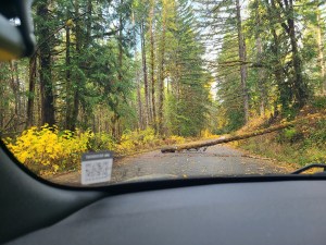
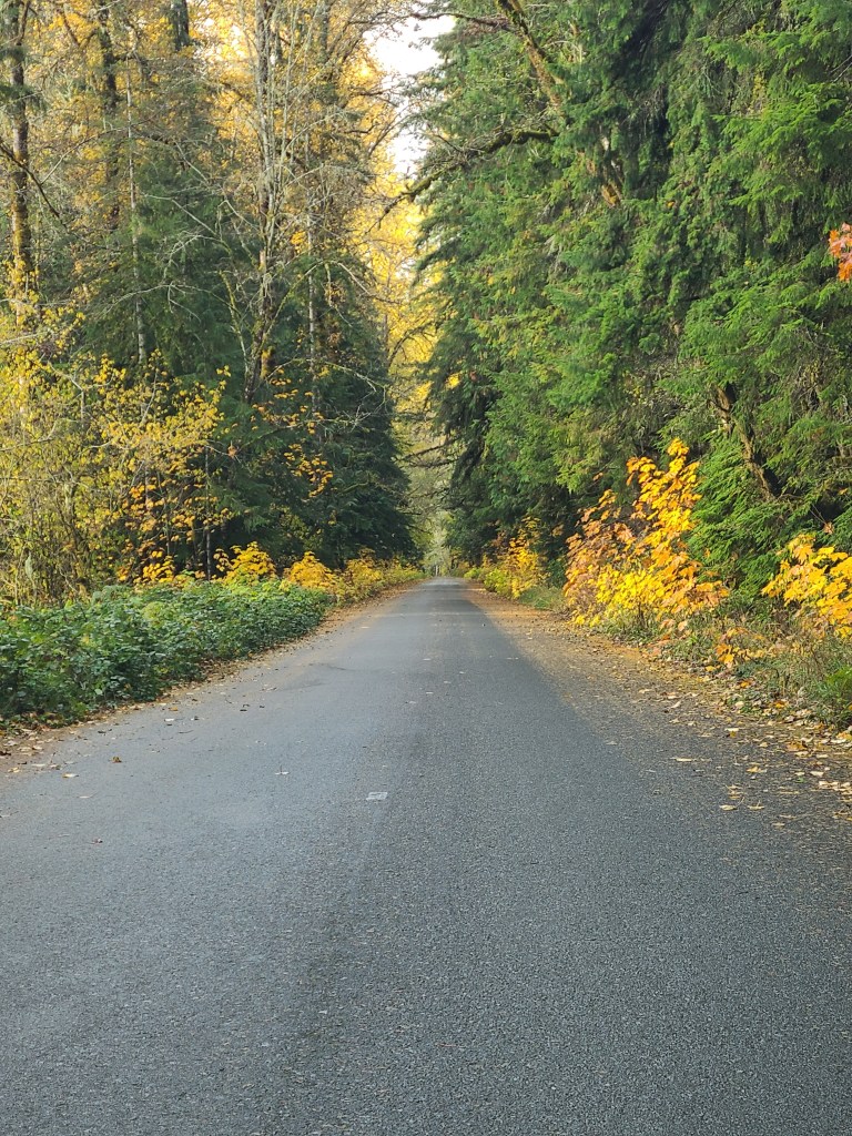
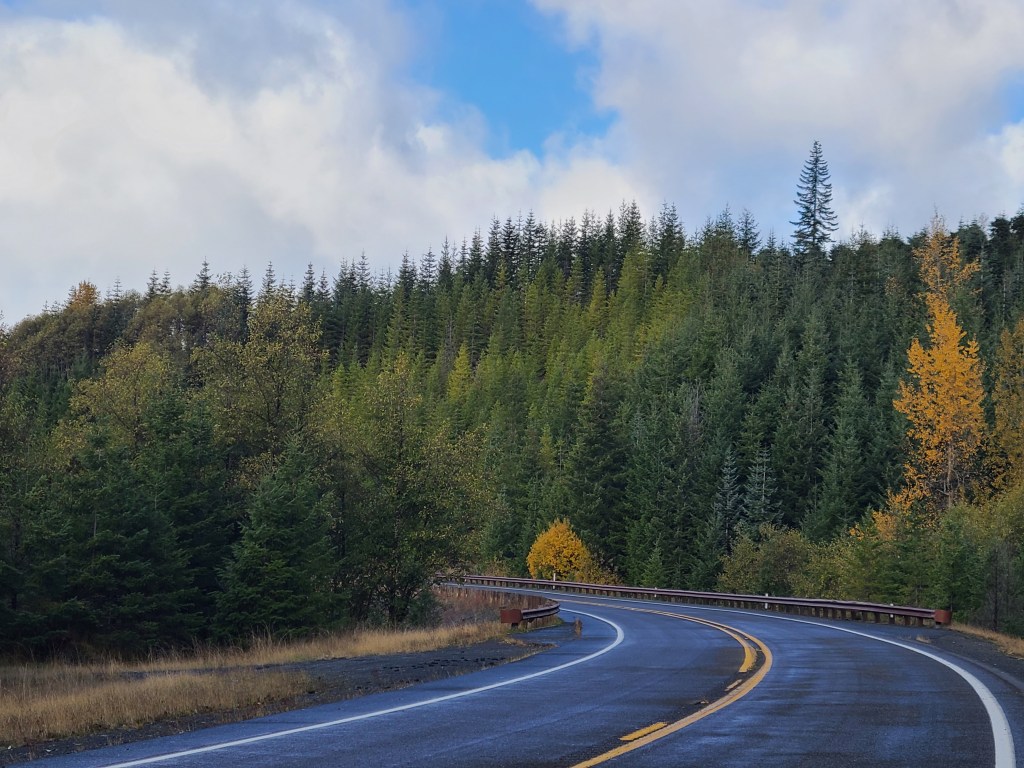
The road was rough but in decent shape, clearly not a lot of traffic came by here. There were a number of spots where a tree had fallen across the road but had been chainsawed into submission. Some of the patched areas were teeth jarringly rough, but few and far between. Slowing down for curves was less about going off the curve and more about being prepared if another car was coming the other way. The road was just more than one lane wide. It was so much fun! Up and down and left and right! But after five miles the signs saying it would be closed were more frequent and looked more confident. But it wasn’t an official chain across the road that stopped me, it was a tree.
Worth it. I turned around and did the same road back and enjoyed every mile as much as the first. Ended up at the original highway and slipped back into my route. It was over an hour to get to MSH proper from there. Big stuff.
On my way in, I stopped at a sediment dam. They had a great explanation on an overlook. It’s a dam to hold back the (duh) sediment, but allow water to get through, and I think they were even trying to let fish who spawn upstream get past it. There was a lot of sediment from the original blast. But what impressed me was the fact that there is still so much still up on the mountain that they pulled the whole “one foot thick highway around the world” statistic type thing.
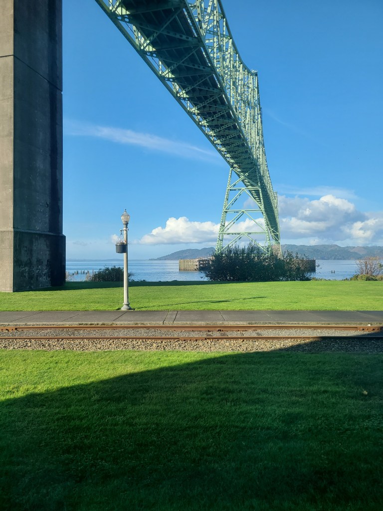
A big further down the road I stopped at the Hofstadt Creek Bridge viewing area – not for viewing MSH, but for viewing the bridge. It’s a very nice bridge, I must say. It is at the edge of the blast zone. You haven’t even seen MSH yet. It’s still 15 miles away. That’s crazy.
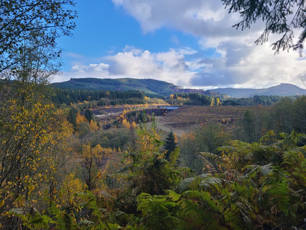
I wasn’t sure if I was seeing MSH though. I knew it was a volcano with a whole side blown off, but i wasn’t sure if it was fully grown over with trees or not. So I was seeing these giant hills around me and trying to suss it out. I was also preparing myself for an overlook showing me it was three green hills in the distance, and that not everything is as impressive as they make it out to be. At that overlook I was thinking about how quiet it was, and how very nature-like the scene was. Given my affinity for the mountains, and now these Washington forests, I was beginning to consider how sad it was that so much nature had been flattened by the eruption. I know it’s the cycles of nature, but still. It was not lost on me that there were people camping in beautiful spots like the area around me, when suddenly an explosion wipes them out. That would be a horrible surprise.
I finally make it down to the areas I was trying to get to, and the National Parks had not only two sections closed, but they even closed the parking lots. So no free view here. Jokes on them though because the Castle Lake viewpoint was open, and that was my backup. The roads around the National Park were extensive. They looked like they were built for heavy traffic and vacationers. This being the shoulder armpit season, nobody would have been here anyway, but I had to wonder how busy did it still get? The eruption was 40 years ago. I remember it as a kid, but none of the kids today knew it that way.
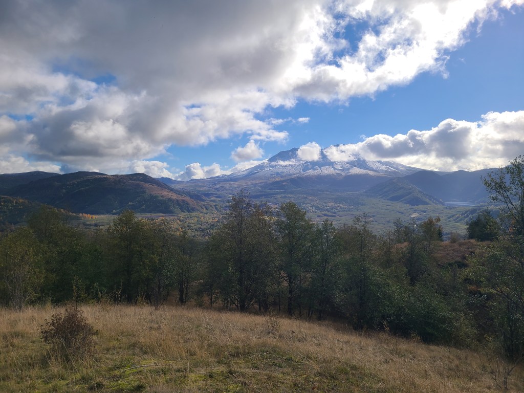
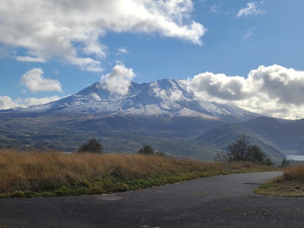
I head back to the Castle Lake viewpoint and the view was phenomenal. And MSH was not a few green hills. It is still a mountain to be in awe of. It was covered in snow, and the clouds seemed to have to slide around the mountain, it was that big. I took pictures, but honestly I was frustrated at the inability of a picture to capture the majesty of it all. Not just the mountain, but the valleys around me, and the sheer scale of it all. Once again, nature was so overwhelmingly impressive that it made me want to throw up. In a good way.
I would like to thank the Forestry Service for such a wonderful viewpoint, and keeping it open for me and the other six people who were in the area today. Not that I saw any of the others, they were just in the area. I was blissfully alone in my experience. Also, I use a recorder to record notes for later, and I just noticed that I was whispering any time I was in nature. Respect.
The Ocean
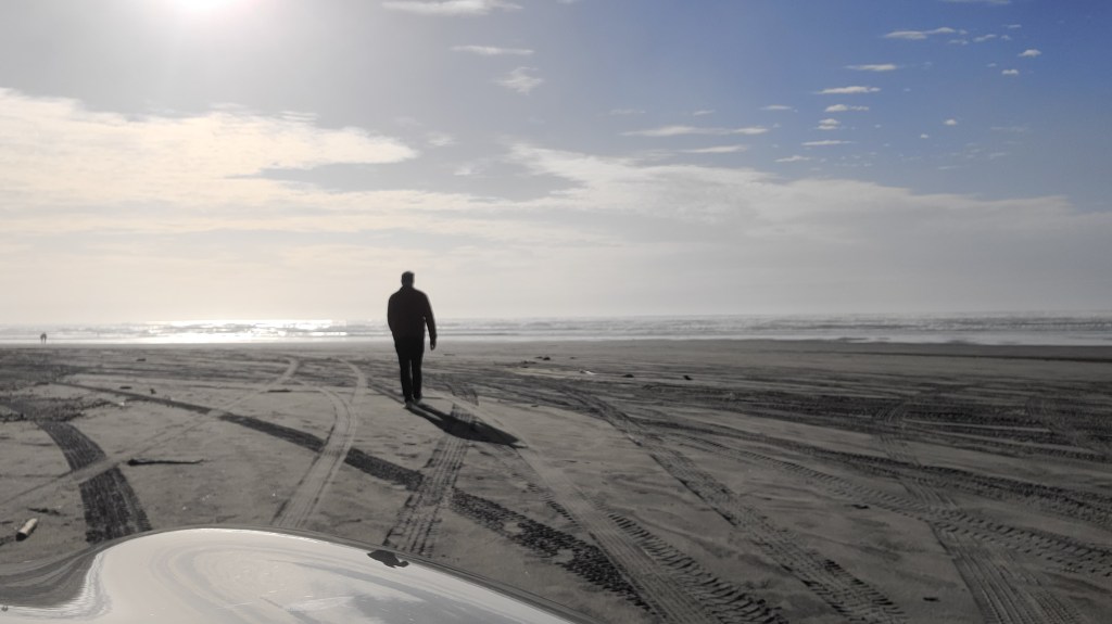
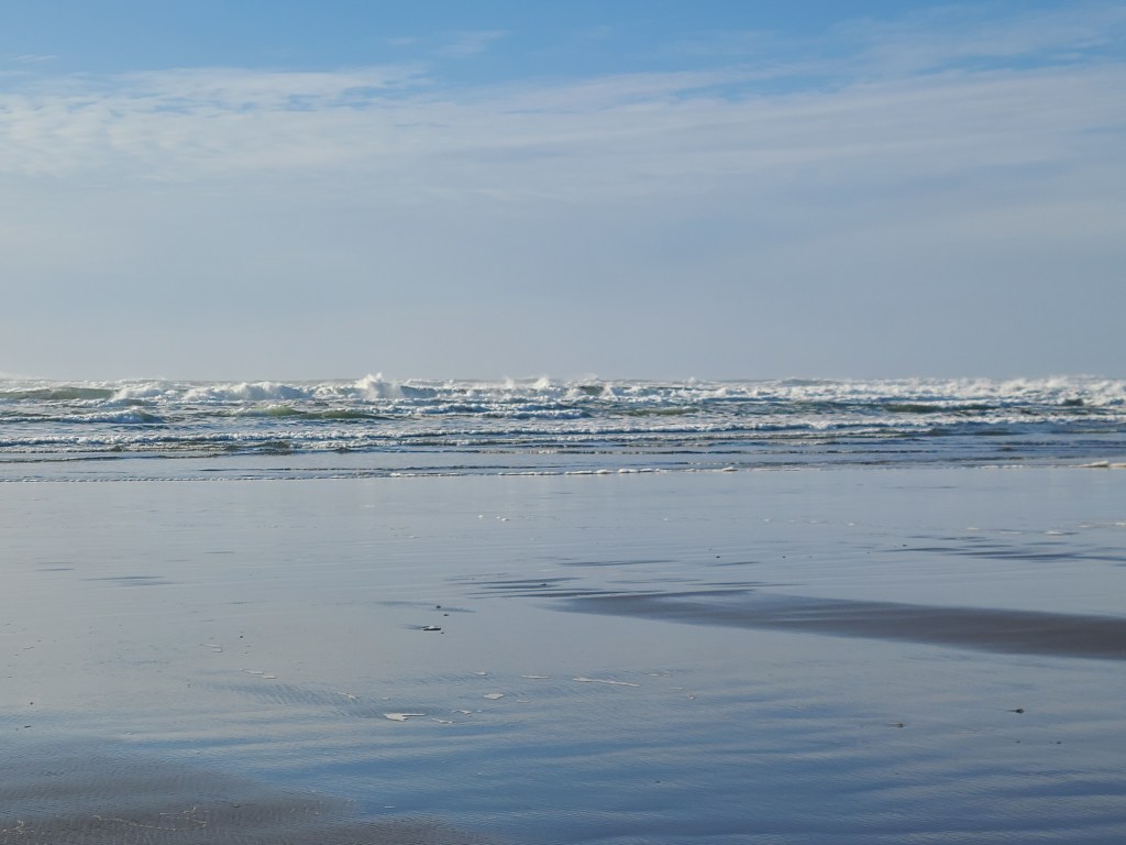
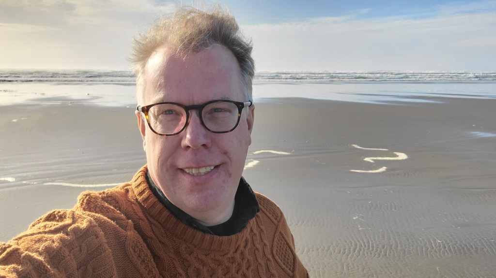
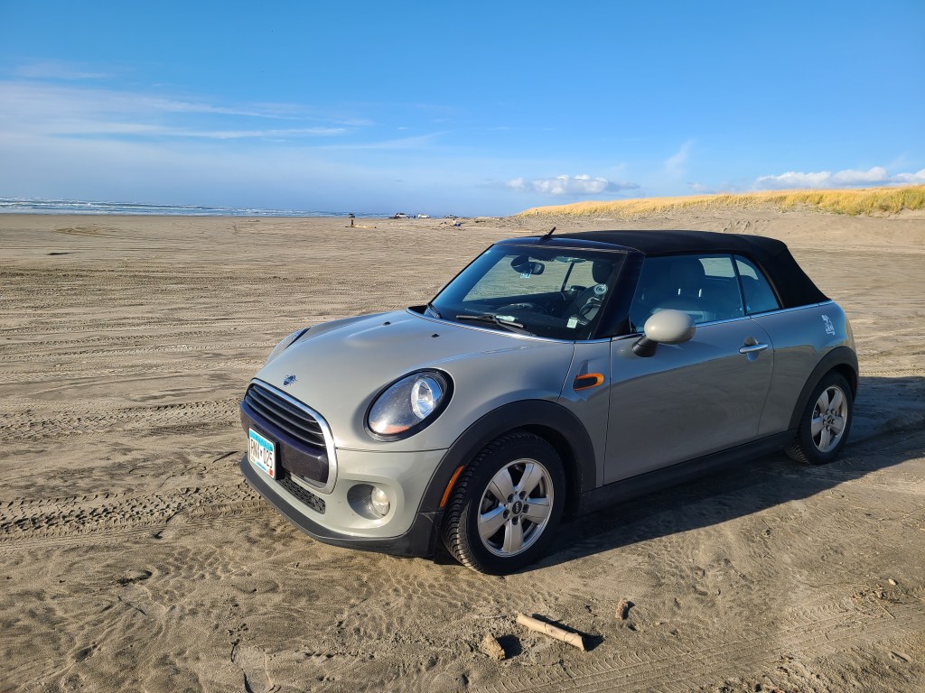
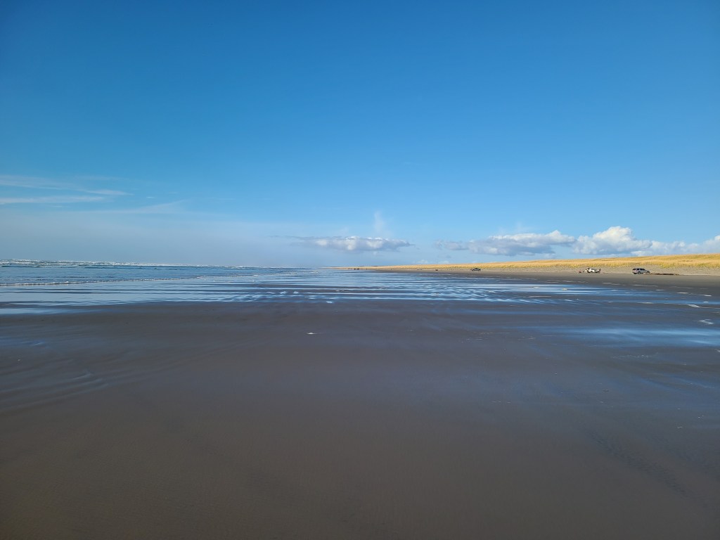
As I entered Astoria, I saw a sign indicating I was entering a tsunami danger zone. Nice! After checking into my hotel, I headed out to the closest beach on the Pacific side. After getting lost once I found the right road, and it took me straight to the beach. Like, directly to the beach. Car on the beach, I walked straight for the water. It was a bit big to get my feet wet, but I got to spend a while watching the waves. They were violent waves breaking over one another, though they we much smaller by the time they hit the beach. The waves came in over a 50 foot distance, in that some came short, and others came very far onto the beach. Took some pictures, headed back for dinner and relaxation. Not used to the time yet, so I’ve been surprised by how early it is all day.
Tomorrow is a zero day, so no driving and lots of resting. Now that I’ve gotten to the ocean, who knows where I’ll end up next..
Deets
- License Plates: N/A
- States: WA, OR
- Departed: 7:48 am PST, 44 degrees
- Original ETA 10:38am PST
- Arrival: 1:13 pm PST
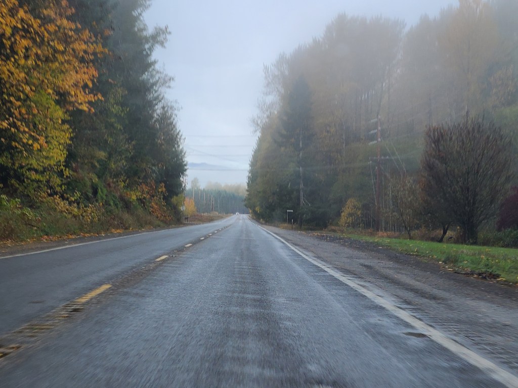
- Weather: Ranged from foggy to sunny to raining
- Budget: Food below, Hotel below
- Food: Latte and Blueberry Muffin, Pork Tamales with rice
- Music:Prince – Sign O the Times, Billy Joel – Glass Houses, Coldplay – Viva La Vida, Linkin Park – Meteora, Black Eyed Peas – Elephunk, Moon Ate the Dark – Moon Ate the Dark, Metallica – And Justice for All
Observations
- I found a calm peace in the mountains
- Going through fog banks it strikes me how dark it gets in there, and then you come out into the sun
- Everyone goes the speed limit in Washington. And then I got passed by a couple cars going well over. They were both Oregon plates, heading to Portland. Like Minneapolis. Liberal cities drive fast.
- Passing the lumber plants and it smells like Thunder Bay. Unpleasantly pleasant
- I saw a small herd of elk last night going to dinner, which means I’ve seen more elk than bison on this trip
Pictures


Leave a comment